Image ID: 1260170
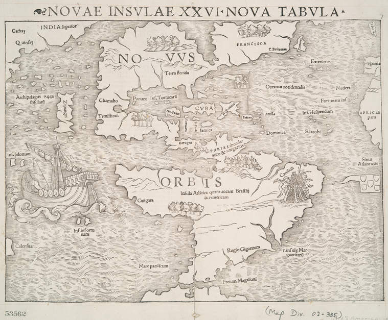
Novae insvlae XXVI nova tabvla. (1545?)
Image Title: Novae insvlae XXVI nova tabvla.
Creator: Münster, Sebastian, 1489-1552 -- Cartographer
Additional Name(s): Ptolemy, 2nd cent. -- Geographer (not in Relator list)
Petri, Heinrich, 1508-1579 -- Publisher
Petri, Heinrich, 1508-1579 -- Publisher
Published Date: 1545?
Specific Material Type: Maps
Item Physical Description: 1 map ; 26 x 34 cm.
Notes: National Endowment for the Humanities Grant for Access to Early Maps of the Middle Atlantic Seaboard. Note 2.) Relief shown pictorially. Note 3.) Covers North and South America, with northeast coast of Asia and west coast of Africa. Note 4.) Author attribution by Burden. Note 5.) State 2, with a new roman numeral in the title, according to Burden. Note 6.) Appears in Ptolemy's Geographia vniversalis, 1545 ed.
Standard Reference: Burden, P.D. Mapping of North America, 12
Source: Maps of North and South America / Whole
Location: Stephen A. Schwarzman Building / The Lionel Pincus and Princess Firyal Map Division
Catalog Call Number: Map Div. 02-335
Digital ID: 1260170
Record ID: 612384
Digital Item Published: 2-28-2005; updated 3-25-2011
The New york Publica Library

No hay comentarios:
Publicar un comentario